Why this blog?
Until this moment I have been forced to listen while media and politicians alike have told me "what Canadians think". In all that time they never once asked.
This is just the voice of an ordinary Canadian yelling back at the radio -
"You don't speak for me."
email Kate
Goes to a private
mailserver in Europe.
I can't answer or use every tip, but all are appreciated!

Katewerk Art
Support SDA
Paypal:
Etransfers:
katewerk(at)sasktel.net
Not a registered charity.
I cannot issue tax receipts
Favourites/Resources
Instapundit
The Federalist
Powerline Blog
Babylon Bee
American Thinker
Legal Insurrection
Mark Steyn
American Greatness
Google Newspaper Archive
Pipeline Online
David Thompson
Podcasts
Steve Bannon's War Room
Scott Adams
Dark Horse
Michael Malice
Timcast
@Social
@Andy Ngo
@Cernovich
@Jack Posobeic
@IanMilesCheong
@AlinaChan
@YuriDeigin
@GlenGreenwald
@MattTaibbi
Support Our Advertisers

Sweetwater
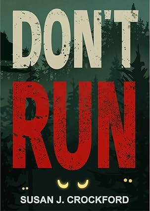
Don't Run

Polar Bear Evolution
Email the Author
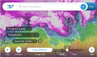
Wind Rain Temp
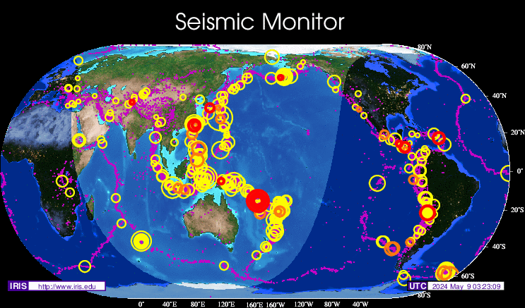
Seismic Map
What They Say About SDA
"Smalldeadanimals doesn't speak for the people of Saskatchewan" - Former Sask Premier Lorne Calvert
"I got so much traffic after your post my web host asked me to buy a larger traffic allowance." - Dr.Ross McKitrick
Holy hell, woman. When you send someone traffic, you send someone TRAFFIC.My hosting provider thought I was being DDoSed. - Sean McCormick
"The New York Times link to me yesterday [...] generated one-fifth of the traffic I normally get from a link from Small Dead Animals." - Kathy Shaidle
"You may be a nasty right winger, but you're not nasty all the time!" - Warren Kinsella
"Go back to collecting your welfare livelihood." - Michael E. Zilkowsky

Thanks. Love this stuff. Would like to go there..but won’t.
Drones give a great perspective and allow legal “access” to observe. Love mine.
Clearly a landing pad, built by the “First Peoples” for the Chariots of their Gods to land. Our alien God fathers and mothers who procreated with primitive earthlings to start a super race. Soon, they will return to help us stop global warming and save the planet. They will deliver cold fusion and flying cars powered by Mr. Fusion trash can reactors.
I suddenly feel this overwhelming urge to arrange rocks in my living room. My wife just left with the kids.
Great link. Ryan is a brilliant photographer.
Shirley, someone must have an explanation for this. Tourism Saskatchewan, Environment, Natural Resources?
I believe they’re just rocks. The indentations that look like someone tried to drill through them are quite common in SW Sask. The altitude at Cypress is 4567 Ft. on the Sask. side, and 4816 Ft. on the AB side. Erosion from extreme temps and wind shaped them differently than they would on flat land at lower altitudes. Most likely a flat slab millions of years ago. And that’s just a guess! Great shots!!
When we visited the Cyprus Hills area of Saskatchewan in the early 1980s we were told by the staff there that these rock hills at one point were the bottom of a river and the surrounding soil was eroded over thousands of years. There is one area which is quite high that looks like early 1900s cement.
That whole part of the country was the result of the Ice Ages.
It’s possible that these rocks were pushed ahead by the glacier or on top of the ice sheet and left behind when it receded, much like that large rock that’s in the middle of a field near Okotoks.
They may have been covered after the ice melted and could have been exposed by erosion of the soil as it’s quite sandy, being glacial moraine.
Fascinating. Thanks.
My understanding is that the Cyprus Hills were not glaciated (last time around at least) and are at the
same height as highlands in Labrador. As an “island” protruding about the ice sheet these rocks would have been exposed to a very unique set of climate conditions and erosion.
MM
1. The pattern of the alternating rows would indicate construction. 2. The scattering of the rocks at the top, versus the closely knit pattern of the rocks at the bottom (base) tell me that it was a wall that toppled. 3. The evidence of the same pattern, though scattered, at the top would substantiate this. It’s a toppled wall. When it was built and by whom, is the debate here, I think.
Someone prolly does. But don’t call me Shirley.
I just checked my recent activity and was honored to see so many hits coming from Small Dead Animals. 1400 so far. That is impressive! Thanks Kate!
Fascinating, as the pointy-eared one would say.
You would think if it’s man-made, there should be abundant evidence of tools being used.
It’s either man or nature, a close inspection should make the answer obvious. I am confused as to how their origin could still be a mystery.
“1. The pattern of the alternating rows would indicate construction.”
No, this is almost certainly a natural faulting pattern. It’s common for faults to occur in two orthogonal directions at once.
An Aztec expedition got that far north by midsummer and began building a temple; then winter hit and they said, “Screw this!” and went back south.
I could buy that, if the fault lines were apparent in both directions. As it is, i can only see a fault line across the photo, from top to bottom of the photo I see no consistent fault path line. However, I am no geologist, so if someone can provide a link to other known faults with a similar pattern that would be very much appreciated.