Why this blog?
Until this moment I have been forced to listen while media and politicians alike have told me "what Canadians think". In all that time they never once asked.
This is just the voice of an ordinary Canadian yelling back at the radio -
"You don't speak for me."
email Kate
Goes to a private
mailserver in Europe.
I can't answer or use every tip, but all are appreciated!


Katewerk Art
Support SDA
Paypal:
Etransfers:
katewerk(at)sasktel.net
Not a registered charity.
I cannot issue tax receipts
Favourites/Resources
Instapundit
The Federalist
Powerline Blog
Babylon Bee
American Thinker
Legal Insurrection
Mark Steyn
American Greatness
Google Newspaper Archive
Pipeline Online
David Thompson
Podcasts
Steve Bannon's War Room
Scott Adams
Dark Horse
Michael Malice
Timcast
@Social
@Andy Ngo
@Cernovich
@Jack Posobeic
@IanMilesCheong
@AlinaChan
@YuriDeigin
@GlenGreenwald
@MattTaibbi
Support Our Advertisers

Sweetwater

Don't Run

Polar Bear Evolution

Email the Author
Wind Rain Temp
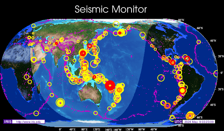
Seismic Map
What They Say About SDA
"Smalldeadanimals doesn't speak for the people of Saskatchewan" - Former Sask Premier Lorne Calvert
"I got so much traffic after your post my web host asked me to buy a larger traffic allowance." - Dr.Ross McKitrick
Holy hell, woman. When you send someone traffic, you send someone TRAFFIC.My hosting provider thought I was being DDoSed. - Sean McCormick
"The New York Times link to me yesterday [...] generated one-fifth of the traffic I normally get from a link from Small Dead Animals." - Kathy Shaidle
"You may be a nasty right winger, but you're not nasty all the time!" - Warren Kinsella
"Go back to collecting your welfare livelihood." - Michael E. Zilkowsky


Not well reported, Ms. McMillan. How is the “normalization” carried out? Is it adjustment to constant value dollars?
Is it relative to the value of buildings within (say) 10 miles of a coastline (which supposedly has increased)? And what is
the standard error on the slope of the straight line?
I’ll see if I can get hold of the 2008 Natural Hazards.
From the PDF that could be found by clicking on the links in the blog post:
” A normalization provides an estimate of the damage that would occur if storms from the past made landfall under another year’s societal conditions. Our methods use changes in inflation and wealth at the national level and changes in
population and housing units at the coastal county level. ”
Link to the PDF: http://sciencepolicy.colorado.edu/admin/publication_files/resource-2476-2008.02.pdf
And what about the interesting factoid in the last paragraph here:
Tropical Storm Research (TSR) has updated its 2014 US hurricane season forecast.
TSR’s Professor Mark Saunders and Dr. Adam Lea are now forecasting 12 named storms, 6 hurricanes and 2 major (Category 3+) hurricanes between the months of June and November.
“The report specifies two primary factors as to why a below-normal hurricane season remains forecast:-
1.Current forecast computer model projections are still indicating that trade winds over the Caribbean Sea and the tropical North Atlantic will be moderately stronger than normal in August and September. These trade winds influence the spinning up of storms, and the report states that the current projection is similar to forecast values in July.
2.Sea surface temperatures in the Atlantic Ocean’s main development region have remained cooler than normal, and this is expected to continue through the peak cyclogenesis period in September. It is worth noting that temperatures are slightly warmer than what was seen in July. The forecast skills for these predictors at this lead time are 73% and 83% respectively”
To see the complete forecast and previous versions go to http://www.tropicalstormrisk.com/ and select Forecasts from the menu.
3,200 days since a hurricane hit Florida. That is 8 YEARS and 9 months.
http://www.weather.com/news/weather-hurricanes/florida-hurricane-free-streak-luck-run-out-20140801
I guess global warming hurricanes are taking a vacation in the same place the global warming high temperatures are?
See.. Its true.. hurricane activity is… Unprecedented.