Why this blog?
Until this moment I have been forced to listen while media and politicians alike have told me "what Canadians think". In all that time they never once asked.
This is just the voice of an ordinary Canadian yelling back at the radio -
"You don't speak for me."
email Kate
Goes to a private
mailserver in Europe.
I can't answer or use every tip, but all are appreciated!


Katewerk Art
Support SDA
Paypal:
Etransfers:
katewerk(at)sasktel.net
Not a registered charity.
I cannot issue tax receipts
Favourites/Resources
Instapundit
The Federalist
Powerline Blog
Babylon Bee
American Thinker
Legal Insurrection
Mark Steyn
American Greatness
Google Newspaper Archive
Pipeline Online
David Thompson
Podcasts
Steve Bannon's War Room
Scott Adams
Dark Horse
Michael Malice
Timcast
@Social
@Andy Ngo
@Cernovich
@Jack Posobeic
@IanMilesCheong
@AlinaChan
@YuriDeigin
@GlenGreenwald
@MattTaibbi
Support Our Advertisers

Sweetwater
Don't Run

Polar Bear Evolution
Email the Author
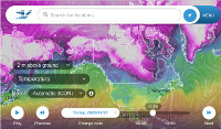
Wind Rain Temp
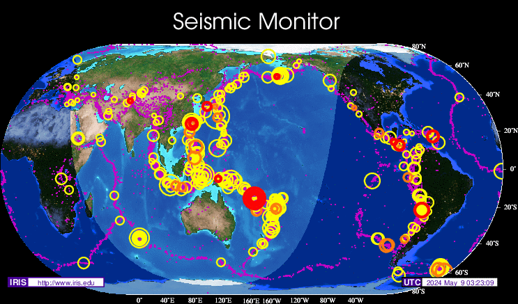
Seismic Map
What They Say About SDA
"Smalldeadanimals doesn't speak for the people of Saskatchewan" - Former Sask Premier Lorne Calvert
"I got so much traffic after your post my web host asked me to buy a larger traffic allowance." - Dr.Ross McKitrick
Holy hell, woman. When you send someone traffic, you send someone TRAFFIC.My hosting provider thought I was being DDoSed. - Sean McCormick
"The New York Times link to me yesterday [...] generated one-fifth of the traffic I normally get from a link from Small Dead Animals." - Kathy Shaidle
"You may be a nasty right winger, but you're not nasty all the time!" - Warren Kinsella
"Go back to collecting your welfare livelihood." - Michael E. Zilkowsky
 (h/t Kevin B)
If this is supposed to be agricultural activity, why are Florida and California (among others) missing?
I think someone is confusing cause and effect. Maybe the reason so much agriculture is located in the corn belt is because that’s the best place to grow crops. Most of the lands that were deserts when the settlers came remain deserts to this day.
What happened to Lake Erie?
Jeez, I misread the headline…I actually read “Your Methane, As Viewed From Space”.
I’m sure there are some mornings I could give that space image a run for it’s money.
“What happened to Lake Erie?”
Yeah well, SW Ontario is a faint glow but Maine and most of New Brunswick (mostly pine forest) reflects more than it should………I call BS.
I’d say that the map is about right. The corn is just now showing tassels here.
A truly mesmerizing colour.
Believe it is also known as rich rent seekers reward.
Compare to the map of all EF3 or higher tornadoes in the US from 1950 to 2010:
http://i.imwx.com/web/news/2011/april/tornado-alley-ef3-higher-041411.jpg
Nb and ns have corn and c3 crops like hay and some small grains so that’s why there is some red glow. Lake Eire isn’t clearly visible because of all the light pollution from the corn grown all around its shores.
My question is: what’s being grown on the yucatan peninsula? Sorghum? I didn’t think corn grew that well in climates that were that hot. (Sorghum is a c4 like corn).
What happened to Lake Erie? Algae, weeds etc happened to Lake Erie and the southern portion of Lake Michigan.